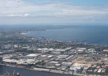
The coastal VFR route is used to skirt the Melbourne CTR, south of the city. Aircraft using the route must remain outside controlled airspace. Pilots should consult the Melbourne (VTC) before flying the coastal route.
When using the coastal route between Point Ormond and Laverton BOM tower (cloud permitting), fly westbound at 2,000 ft and eastbound at 1,500 ft.
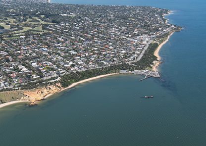
When using the coastal route between Point Ormond and Carrum (cloud permitting), fly southbound at 1,500 ft and northbound at 2,500 ft, and track clear of MB CTR.
Keep to the right of the lane to avoid oncoming traffic. Pilots should have landing lights, anti‑collision strobes and navigation lights on to assist sighting and avoiding other traffic. Maintain a vigilant lookout and an effective scan.
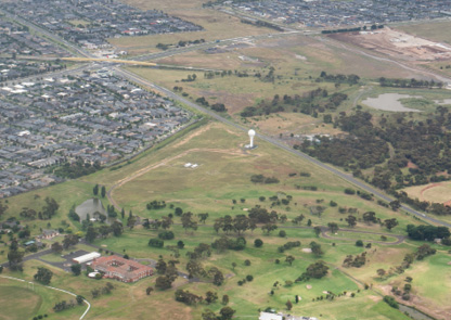
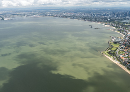
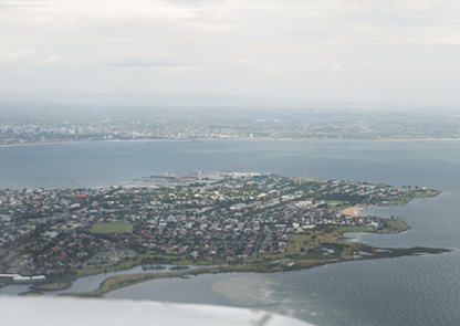
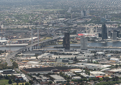
Enlarge image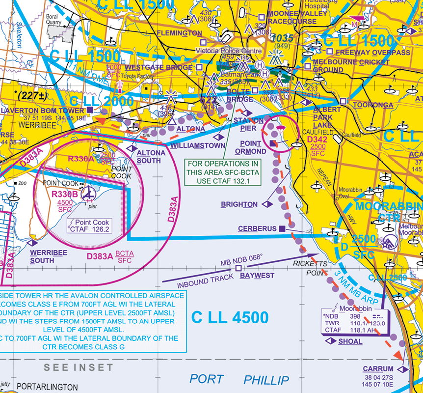
Pilots should be aware of the Melbourne airspace control area step north of the VFR coastal route with a lower limit of 1,500 ft. Tracking too far north will infringe this step. Pilots should also be aware of the PTOM parachuting danger area (D342) SFC to 2,500 ft. Pilots should maintain an active listening watch on CTAF 132.1 while tracking via the coastal route. If the aircraft has 2 radios, pilots should also monitor Melbourne Centre on 135.7.
Note: use caution at Laverton BOM tower when climbing or descending to avoid controlled airspace. The tower is inside the 2,000 ft step – climbing prematurely or descending late at the tower will infringe the step. If runway 34 at Melbourne is in use, any breach of the step will cause conflict with arriving jet aircraft.