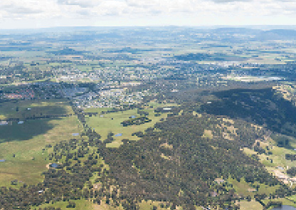
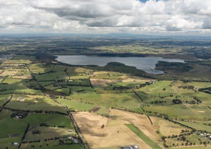
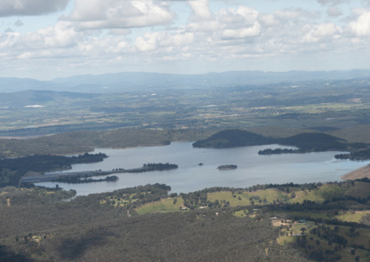
The inland route runs between Sugarloaf Reservoir and Kilmore and is one of the main VFR routes connecting the Melbourne Basin with northern Victoria used by northbound and southbound VFR traffic.
Maintain a good lookout for other aircraft, particularly when climbing and descending. Listen out on Melbourne Centre frequency 135.7 and broadcast your position and intentions when entering the inland route. Make sure you keep to the right (oncoming traffic should be on your left) and strobes, landing and taxi lights should be on.
Exercise caution in the vicinity of high terrain to the immediate north of the route with associated mechanical turbulence in strong northerly or easterly winds. When terrain, weather and CTA steps permit, fly at VFR cruising altitudes. Accurate height holding is essential along this route as the lower levels of controlled airspace vary from 2,500 ft to 4,500 ft, with 4 different CTA steps converging in the vicinity of Yan Yean Reservoir. Use the Melbourne VTC to identify airspace steps.
Enlarge image