Wellcamp is in Class G airspace, about 8 nm west of Toowoomba and 4 nm south of the boundary of Oakey military CTR. It is also within Amberley West airspace. R639A extends upwards from 10,000 ft and is activated by NOTAM. Check NAIPS code AWX.
D621A lies underneath R639A, from SFC to A100. Clearance is not required. However, there may be military aircraft, (e.g. FA18F Super Hornets) conducting random manoeuvring in this area and pilots should maintain a good lookout.
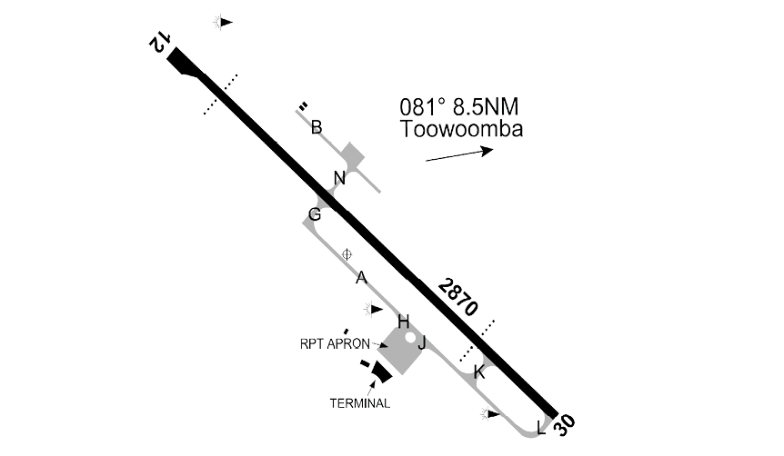
Wellcamp handles small and large air transport operations and freight aircraft up to and including B747 size, so pilots must observe procedures for non-towered airports, maintain their own separation and be mindful of issues such as wake turbulence.
Wellcamp also caters for aero medical operations, a mixture of GA fixed- and rotary-wing aircraft operations. Extensive flight training occurs at the aerodrome and associated danger areas.
All operations in Class G airspace up to 8,500 ft in the area, which includes Toowoomba (YTWB) and other airstrips, use the Darling Downs Broadcast Area frequency. Oakey also uses this CTAF outside ATC hours, which are notified by NOTAM.
Due to terrain shielding, VHF contact between aircraft in close proximity to, or on the ground at, Brisbane West Wellcamp or Toowoomba is not possible.
Brisbane West Wellcamp Airport is subject to a number of noise abatement procedures, general flight procedures and local traffic regulations. It is the pilot in command’s responsibility to check ERSA and NOTAMS for flights in this area.