When planning any outback flying route, always start with the big picture. You might ask yourself:
- How far can I get in the time available?
- What's my budget?
- What's my time frame?
- Am I confident to transit any controlled airspace en route?

When planning any outback flying route, always start with the big picture. You might ask yourself:
Once you've figured out where you're going, here are some more aspects to consider.
If you're searching for great places to fly to there are some fantastic publications and websites to inspire you.
Always consult the ERSA first. Updated by Airservices every 3 months, it's your go-to publication containing procedural information vital to your planning. It also includes emergency procedures and in-depth pre-flight briefing information.
If you're looking for destinations not listed in the ERSA, grab a copy of Pilots Touring Guide.
There are also plenty of general aviation magazines with ideas on destinations and suggested safari routes. Many of these are from around the country with first-hand accounts from pilots of their experiences.

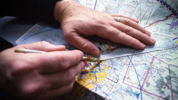
Use your flight planning software or draw your route on your Planning Chart Australia (PCA).
This will show you what World Aeronautical Charts (WACs) you'll need. The coverage of each WAC has a black border outline and labelled in the centre with a black WAC number.
Be mindful of the possibility of your route needing to change due weather or other circumstance. This will lead you onto an adjoining WAC you may not have originally thought you'd need.
The PCA also shows you which Areas, graphical area forecast (GAF) and ground proximity warning system (GWPS) charts your route covers.
You'll need enroute low charts for your radio and navaid frequencies, the location of controlled airspace and prohibited, restricted and danger areas (PRD) areas.
And of course, never leave home without your ERSA.
If you are taking paper charts, check the validity of all of them. Make sure you order all your required maps well ahead. These are available from Airservices Publications.
You may not always have internet reception in the outback. You may find it easier to phone through your flight plan.
If you feel you're not up to speed with phoning through your flight plan, grab your instructor for a refresher.