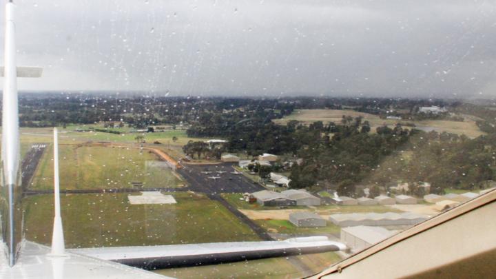
You can never guarantee what VFR flying conditions you will get. You can be optimistic, but it can't change the weather.
Prepare by studying how the experts have interpreted the existing and trending conditions.

You can never guarantee what VFR flying conditions you will get. You can be optimistic, but it can't change the weather.
Prepare by studying how the experts have interpreted the existing and trending conditions.
While interpreting aviation forecasts can be challenging it contains information pilots need before a flight.
Being competent with reading and interpreting the forecasts comes from familiarity. You must practise and then practise some more.
Learn every item on a GAF (Graphical Area Forecast) and a GPWT (Grid Point Wind and Temperature) table to get the full picture.
If you are in doubt about any aspect of the wording, read through AIP Gen 3.5 3 Meteorological Services. Get familiar with all the terms and codes.
Always check on your Electronic Flight Bag (EFB) and see whether there is a weather decoder option on the GAF.
If there's something you still don't understand, ask the Bureau of Meteorology (BOM) duty forecaster to help you.
It's important you understand how the forecast weather is going to affect your flight.
For example, if there is a front coming through, you should know:
NAIPS Charts Directory will have low-level GPWT Reference Charts with PCA points.
Translate the information you read into a practical thought process. You need to ask yourself some questions, including:
As the pilot-in-command, you hold ultimate responsibility for the safe conduct of this flight.
Familiarise yourself with the landscapes and forecast of the region you plan to operate.
This helps if you are not familiar with flying far from your home airfield.
Some forecasts may never appear on your home area forecast. For example, widespread bushfire smoke can be a frequent sight in the Northern Territory or periodic locust plagues across agricultural areas.
As part of your flight planning, bring up a distant area forecast and see if you can interpret what's going on.
You need to be aware of conditions that may be very different to those you may be familiar flying in.
And don't forget those basic rules:
The number at the bottom of your GAF will put you in touch with a qualified weather forecaster at BOM that can help you.

There are many sources for your aviation weather needs.
Airservices' NAIPS is a program from which to source aviation-specific information, including:
You can access it through the Airservices website.
As a CASA-approved aeronautical information provider, Airservices portal NAIPS is the authorised source of weather for operational flight decisions (pre-flight or in-flight).
CASA-approved organisations provide GPWT and GAF data on your EFB.
Always remember, these apps are tools that supplement other approved sources of aeronautical information.