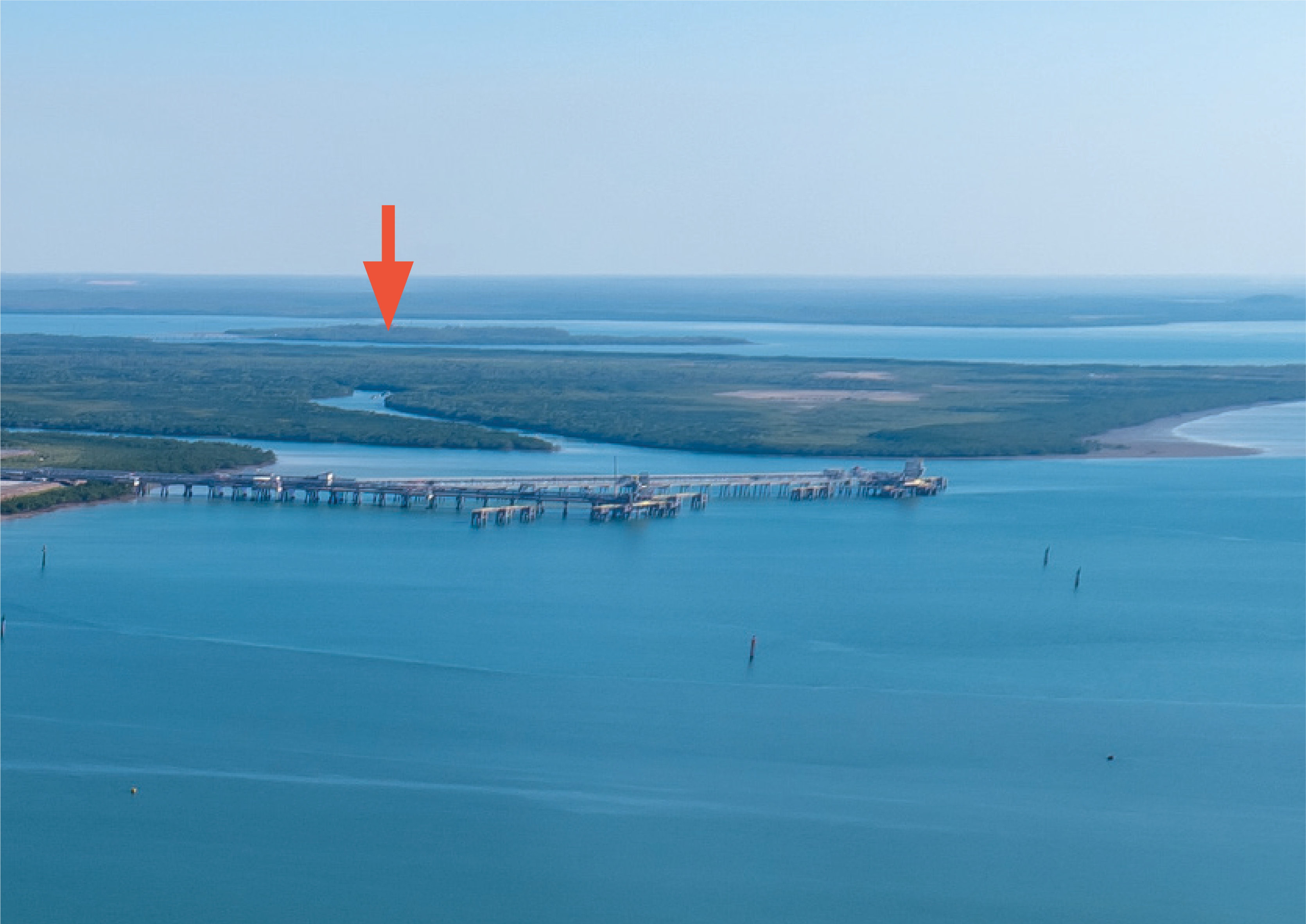
All VFR aircraft departing Darwin CTR to the south are required to track via Channel Island and Bynoe Harbour via VFR Route 5. Aircraft tracking via the VFR route can expect to be issued an initial heading on departure (e.g. heading 250) on climb to 2,000 ft. Expect to contact Darwin departures on 123.0 on direction from TWR. Keep a good lookout at all times around Channel Island, as it is a well-used reporting point for helicopters as well as fixed-wing aircraft.
If issued a heading by TWR, maintain that until ATC uses the phrase ‘resume own navigation’, at which point they will say where to track next.
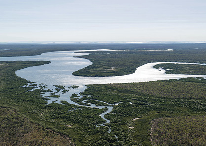
Ensure you have checked the status of the various restricted areas south of Bynoe Harbour before you take up your desired onward track. Monitor Brisbane Centre 118.15 when clear of controlled airspace.
Enlarge imageA map of Darwin airspace with the flight path of a plane departing from Darwin Airport, tracking south to Channel Island then south-west towards Bynoe Harbour.