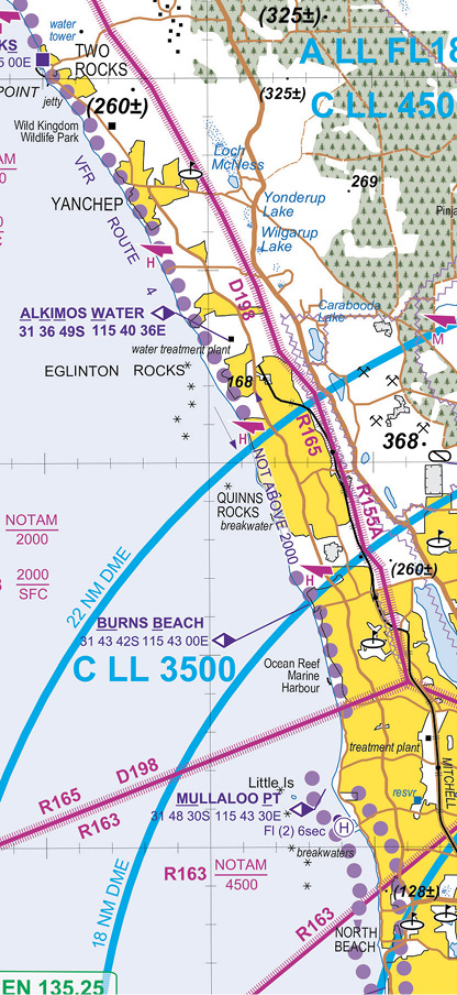
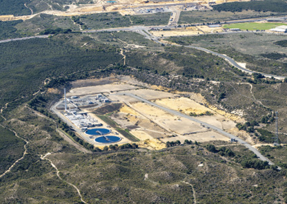
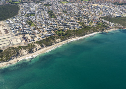
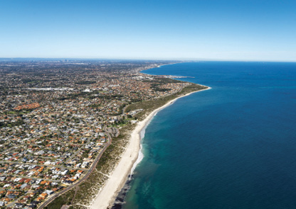
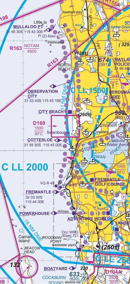
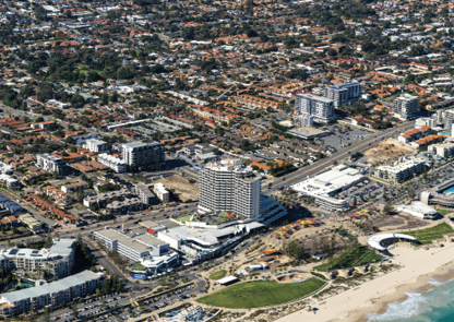
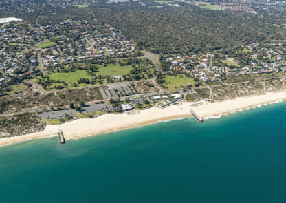
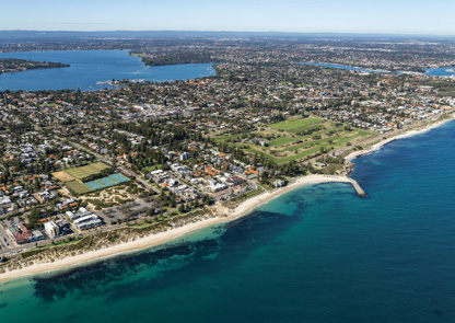
When heading southbound in the coastal lane, ensure you remain over water at all times as northbound aircraft will be tracking over land. The Pearce airspace starts just 2 nm inland. Northbound traffic should be aware of this and not travel too far inland and be below 4,000 ft by Cervantes and 2,000 ft by Lancelin. Approaching Mullaloo Point, commence your descent to below 1,500 ft to stay clear of the Perth CTA step. This is an area of high numbers of violations of controlled airspace.
Aircraft within 36 nautical miles of Perth should monitor Perth Centre 135.25 whenever able. This service is available for traffic, position and navigation advisories or Flight Following if available dependent on controller workload.


